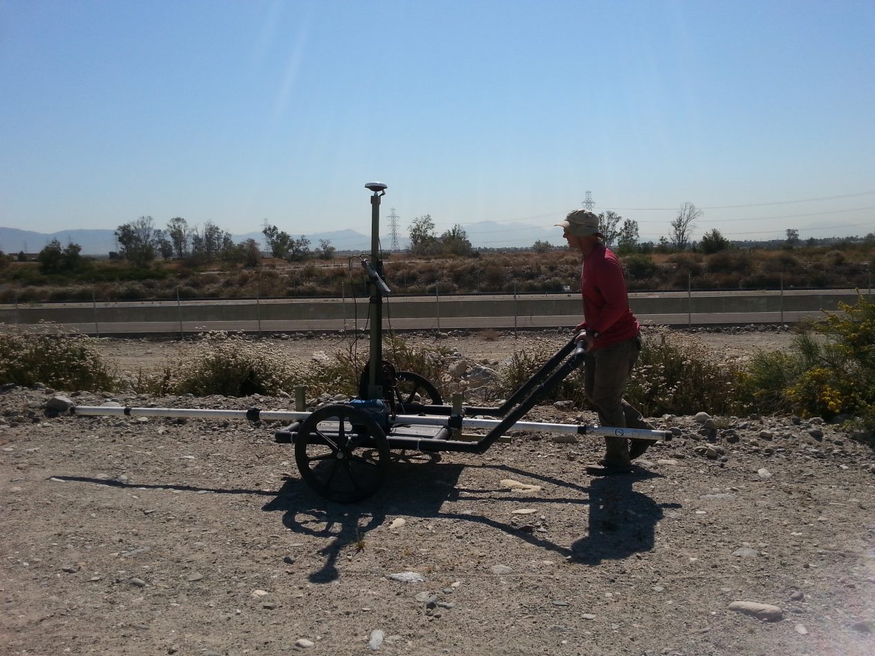


The frequency domain method uses the inductive properties of a continuous primary electromagnetic field to measure the conductivity (reciprocal of resistivity) of the material through which the field passes. This method has a long history in the mining industry for exploration of base metal deposits; however, it is now used for many environmental and engineering types of applications. Land-based frequency domain methods have 40 years of demonstrated use for the delineation of undocumented disposal, chemical waste and large buried metallic objects. Because the material of which the subsurface is composed controls the ability of the subsurface to carry an electrical current (or hold a secondary field), the conductivity of a material correlates well with grain size (and generally increases with decreasing grain size) these methods can be used to both identify lateral boundaries between different materials and lithology of the materials. Frequency domain methods are also highly sensitive to the chemistry of materials, and therefore can be used for many groundwater applications such as the delineation of shallow high-TDS and contaminant plumes (DNAPL and LNAPL) and the delineation of weathered, altered, or vertical water-bearing zones in bedrock.
In addition, these methods are very sensitive to metallic material, and can be used to detect metallic pipes, USTs and drums. With the aid of a regularly spaced grid, these methods can be used to distinguish the boundaries between contrasting materials with a very high degree of resolution. Frequency domain methods are particularly useful where there is a large area to investigate, as an extremely large number of measurements can be made quickly and cost effectively. For shallow applications Spectrum uses a Geonics EM-31 terrain conductivity meter (EM-31); for deeper applications Spectrum uses a Geonics EM-34-3 terrain conductivity meter (EM-34).
This method can be used for determination of lateral boundaries of a landfill, delineation of contaminant plumes, placement of water wells and delineation of geologic contacts.